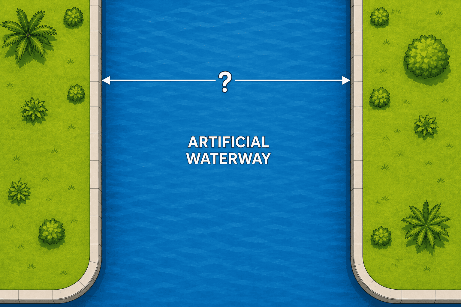
Seawall to seawall
When both sides have seawalls, use the face of your seawall and the face of the opposing seawall as the practical visual endpoints for an approximate planning measurement.
 CAPE CORAL WATERWAY PLANNING
CAPE CORAL WATERWAY WIDTH
Waterway width is one of the inputs used to establish a preliminary marine-improvement projection. Learn where an approximate measurement begins and ends, then use the calculator as an early planning check.
PLANNING CALCULATOR
Enter an approximate waterway width in feet to see the standard preliminary 25% projection calculation used by SiteDraft, capped at 40 feet.
This is not the City's official calculated waterway width or a permit determination. Cape Coral uses its GIS measurement, and a licensed professional surveyor may be needed when that measurement is disputed or the site has unusual conditions.
PLANNING MEASUREMENT
For a simple straight canal, measure approximately perpendicular to the waterfront. The correct endpoints depend on what physically and legally defines each side.
When both sides have seawalls, use the face of your seawall and the face of the opposing seawall as the practical visual endpoints for an approximate planning measurement.
If the opposite side has no seawall, measure toward the apparent opposing shoreline or mangrove fringe. Aerial imagery can be unclear, so treat this as an estimate rather than a surveyed boundary.
The Cape Coral code defines the water frontage line as the seawall face when one exists. If a waterfront parcel has no seawall, the property line abutting the waterway is used—not simply the water's edge on the day you look.
Mean high water or the applicable mean-water elevation can matter when defining elevations and natural waterfront conditions. It is not safe to substitute a visible tide line for a legal property or frontage line; use a surveyor when the endpoint is uncertain.
WHY WIDTH MATTERS
Section 5.4.3 of the Cape Coral Land Development Code states that marine improvements may extend 25% of the calculated waterway width or 40 feet, whichever is less, measured from the water frontage line, subject to the section's setbacks and special-property rules.
This does not mean every property automatically receives that full envelope. Canal ends, corners, lakes, basins, bridges, ecological constraints, navigation, side boundaries, vessels, and other conditions can change the result or require individual City review.
The City's general marine-improvement requirements also state that its GIS measurement controls unless a licensed Florida surveyor submits support for a different calculated width.
HOW TO GET AN APPROXIMATION
Open current aerial imagery for the exact Cape Coral address.
Locate the seawall faces or the apparent natural shoreline and mangrove fringe.
Draw the shortest reasonable line across the waterway, approximately perpendicular to the waterfront.
Record the approximate width for planning, then have the selected contractor and appropriate professionals confirm the controlling measurement.
USE THE WIDTH IN YOUR PROJECT